
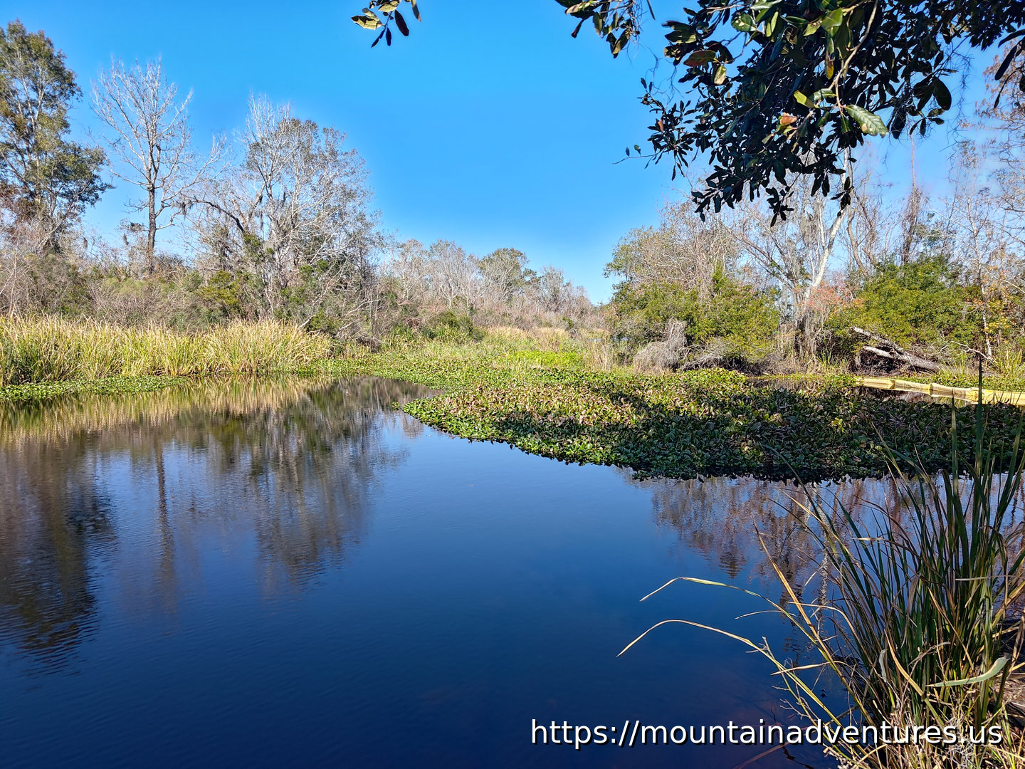
The Twin Canals start by the trailhead and go straight out to another canal. The Twin Canals trail is on higher ground between the two canals. This is the only part of Barataria Preserve that is listed as open during the 2026 repairs from damage caused by Hurricane Ida in 2021.
Not too far in there was a short boardwalk.
The trail being so close to the canal had lots of spots to stop and see the wetlands.
At the end of the trail the canals are connected by another canal. This hike was 2.17 km also with no elevation gain (like the other trails) and also took half an hour.
After hiking, I went to the Wetlands Acadian (Cajun) Cultural Center in Thibodaux which is also a part of Jean Lafitte National Historic Park and Preserve. It is one of three museums in the Nation Historic Park about the culture and history of the area. For anyone curious about how the Acadian people shaped coastal Louisiana, the museum offers a solid introduction to their culture and history. I also stopped at the Acadian Culture Center unit in Lafayette, but it had already closed. If you want to visit all three of the Acadian Cultural centers and hike the preserve, you will want to factor in drive time and plan at least two days.
https://mountainadventures.us/post/jean-lafitte-nhp-barataria-preserve-3
#Louisiana #NPS #Swamp #Hiking #JeanLafitteNHP #Bayou
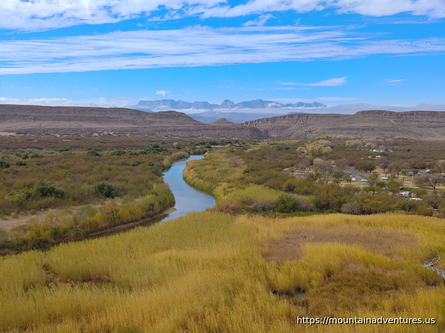
The Rio Grande Village Nature Trail takes you into a bulge in the border with Mexico, down to the Rio Grande and then onto a small hill overlooking the river. This Nature Trail is longer and rougher than a typical nature trail.
If you do the route I did, parking on the far side of the campground, going out the spur to the river and going on the loop up the hill, it is a 3.22 km (2 miles) long hike with 50 m (164 feet) of climbing that takes about an hour.
From the parking area there is has a short stretch of trail, before going through the campground to where the trail really starts. There was a spur down to the river and you have to walk across the floodplain to get to the river. During this hike the river was pretty low and it could be easy to walk across. It being a border though, there are only specific spots with checkpoints you are allowed to cross.
After the spur to the river, the trail goes up a hill that gives you great views of the river along with the mountain ranges in the area.
...
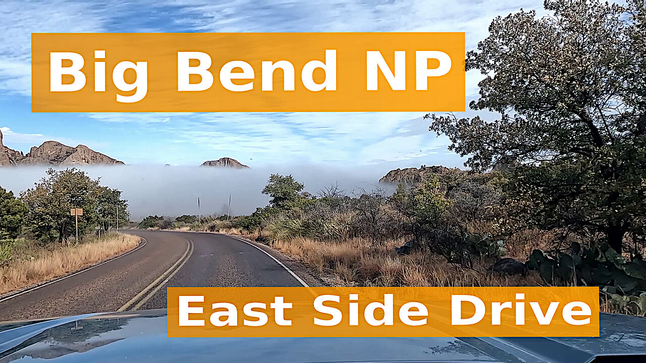
A drive out of Chisos Basin and down into a cloud, then east along the road to Rio Grande Village and Boquillas Canyon, finishing with the climb back up into the Chisos Mountains.
Big Bend National Park sits in the Chihuahuan Desert of southwest Texas, where the Rio Grande runs along the southern border between the US and Mexico. As the river enters and exits the park it cuts through dramatic deep canyons.
In the heart of the park rise the Chisos Mountains; the only mountain range in the US completely contained within a national park. The Chisos Basin sits at the center on these mountains, at a higher elevation than most of the park, with a campground, lodge and trails.
This video is part of a Big Bend National Park series on Mountain Adventures.
#BigBend #Texas #NationalPark #ChisosMountains #RioGrande
When I got up my first morning in Big Bend National Park, there was a layer of ice on everything. I figured it was not a good day to go up high in the Chisos Mountains, but still wanted to explore them a bit. I started with a hike from my cabin to a loop from which included trails going up higher. There is access to the Pinnacles Trail from the main cluster of Chisos Basin Lodge cabins. I took Pinnacles Trail up to a connector to Laguna Meadows Trail and took that trail down to where it ends at the Pinnacles Trail. This short loop was 2.75 km with only 99 m of climbing and took about 50 minutes with stops for photos.
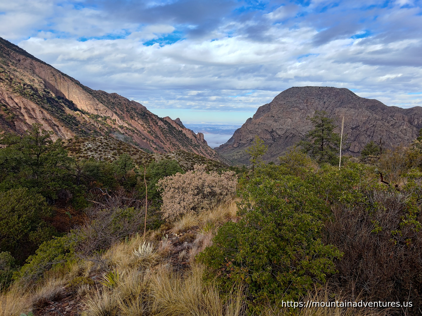
There was a great view towards the exit of the basin. I took these two photos 13 minutes apart from different locations looking in the same direction. They show how the clouds were changing the lighting that morning.
https://mountainadventures.us/post/big-bend-chisos-basin-hikes
#Texas #NPS #BigBendNP #Desert #NationalPark