

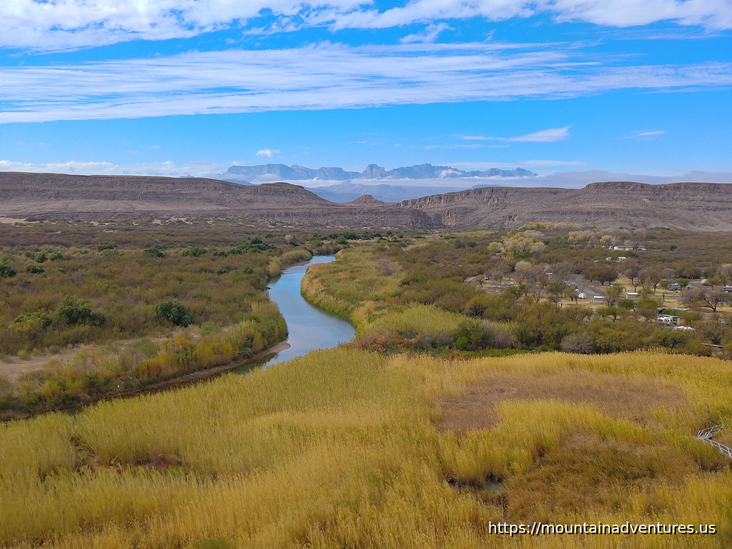
The Rio Grande Village Nature Trail takes you into a bulge in the border with Mexico, down to the Rio Grande and then onto a small hill overlooking the river. This Nature Trail is longer and rougher than a typical nature trail.
If you do the route I did, parking on the far side of the campground, going out the spur to the river and going on the loop up the hill, it is a 3.22 km (2 miles) long hike with 50 m (164 feet) of climbing that takes about an hour.
From the parking area there is has a short stretch of trail, before going through the campground to where the trail really starts. There was a spur down to the river and you have to walk across the floodplain to get to the river. During this hike the river was pretty low and it could be easy to walk across. It being a border though, there are only specific spots with checkpoints you are allowed to cross.
After the spur to the river, the trail goes up a hill that gives you great views of the river along with the mountain ranges in the area.
There is not much in the Rio Grande Village, just a store, picnic area and a couple of campgrounds. Between here and the next hike, Boquillas Canyon, there is a parking area by a checkpoint for crossing the border to visit Boquillas Town. You walk from here to the town. At high water, paid ferries carry visitors across the river. At lower levels, people wade across.
https://mountainadventures.us/post/big-bend-np-rio-grande-village-nature-trail
#Texas #NPS #BigBendNP #Desert #National Park #Hiking
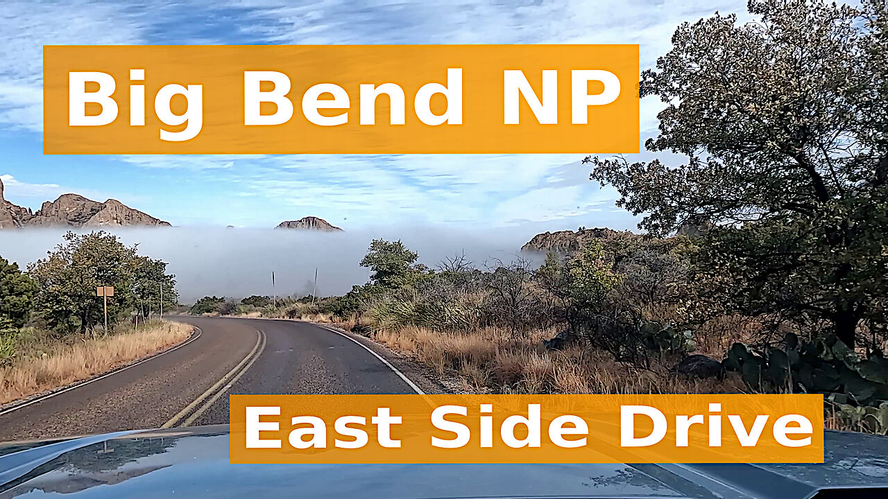
A drive out of Chisos Basin and down into a cloud, then east along the road to Rio Grande Village and Boquillas Canyon, finishing with the climb back up into the Chisos Mountains.
Big Bend National Park sits in the Chihuahuan Desert of southwest Texas, where the Rio Grande runs along the southern border between the US and Mexico. As the river enters and exits the park it cuts through dramatic deep canyons.
In the heart of the park rise the Chisos Mountains; the only mountain range in the US completely contained within a national park. The Chisos Basin sits at the center on these mountains, at a higher elevation than most of the park, with a campground, lodge and trails.
This video is part of a Big Bend National Park series on Mountain Adventures.
#BigBend #Texas #NationalPark #ChisosMountains #RioGrande
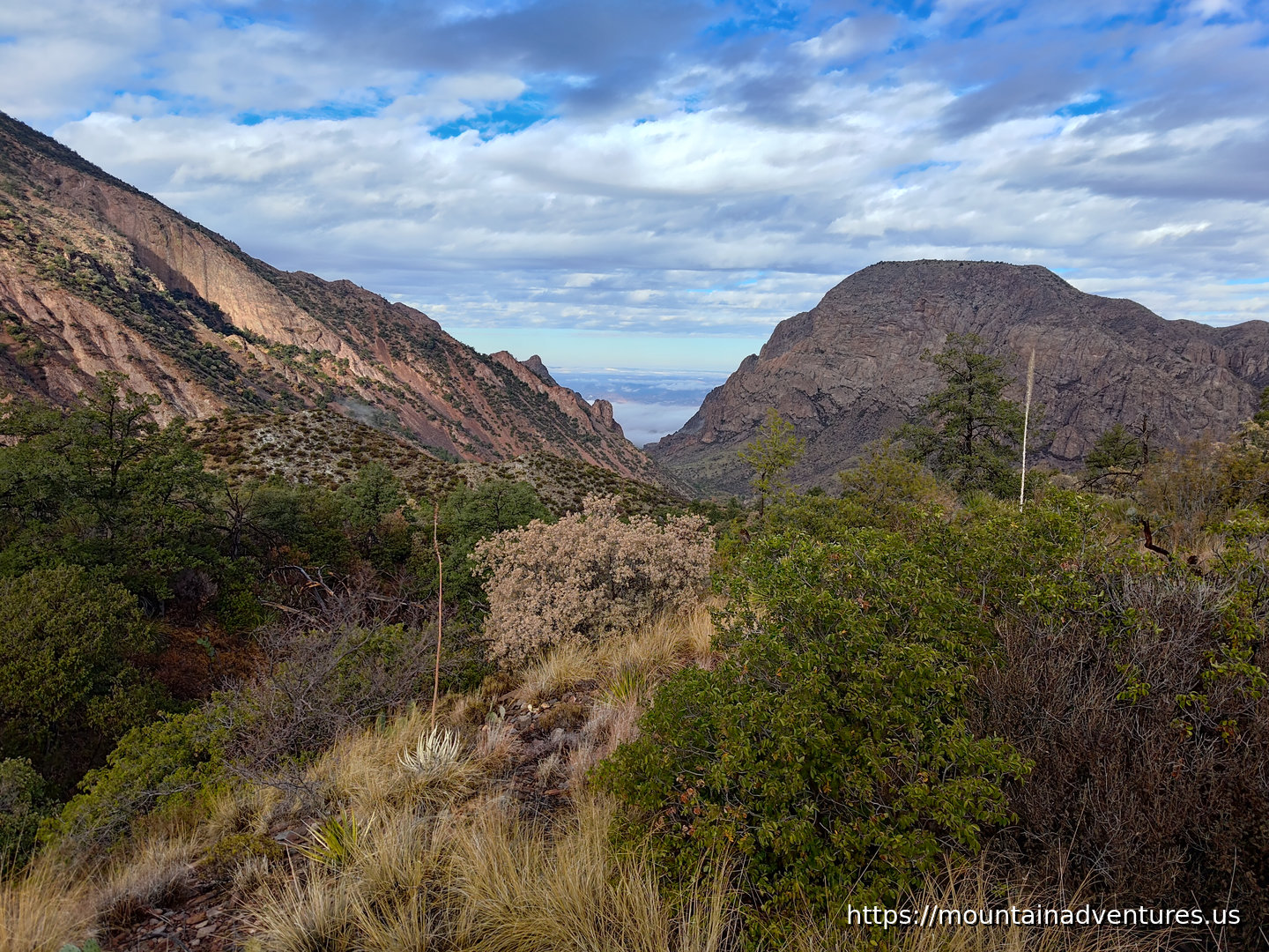
When I got up my first morning in Big Bend National Park, there was a layer of ice on everything. I figured it was not a good day to go up high in the Chisos Mountains, but still wanted to explore them a bit. I started with a hike from my cabin to a loop from which included trails going up higher. There is access to the Pinnacles Trail from the main cluster of Chisos Basin Lodge cabins. I took Pinnacles Trail up to a connector to Laguna Meadows Trail and took that trail down to where it ends at the Pinnacles Trail. This short loop was 2.75 km with only 99 m of climbing and took about 50 minutes with stops for photos.
There was a great view towards the exit of the basin. I took these two photos 13 minutes apart from different locations looking in the same direction. They show how the clouds were changing the lighting that morning.
https://mountainadventures.us/post/big-bend-chisos-basin-hikes
#Texas #NPS #BigBendNP #Desert #NationalPark
https://mountainadventures.us/post/pecos-river-high-bridge
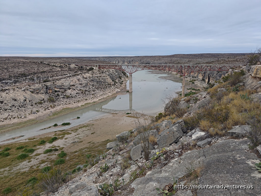
Just west of Amistad National Recreation Area in Texas, US-90 goes over the 1,310 feet long Pecos River High Bridge. It is the highest highway bridge in Texas, at 273 feet above the river when built in 1957. The Amistad Lake may fill this area at higher water levels. There is a viewpoint and picnic area on the south of the road on the east side of the river. Look for the turn to the access road about a quarter mile away from the bridge.
While the river is wide, filling the canyon upstream of the bridge, the river naturally narrows downstream. It continues a short distance before the Pecos River runs into the Rio Grande.